|
| Hylonomus lyelli, Ancestor of all dinosaurs |
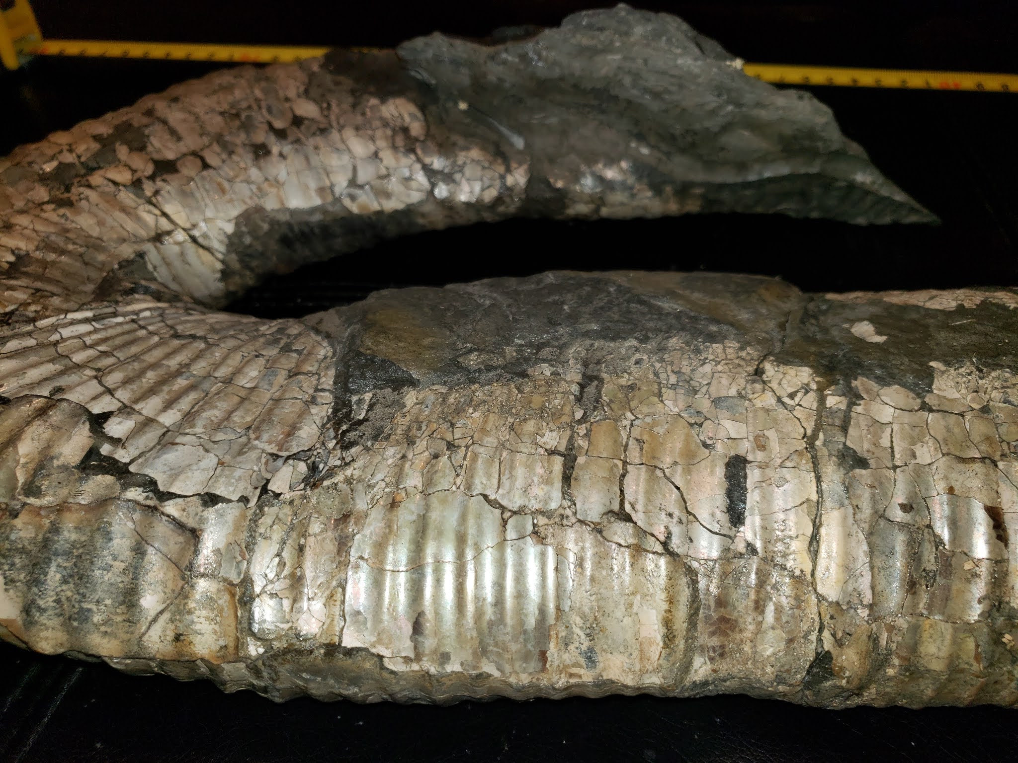
Preserved in situ is a snapshot of an entire food chain of a terrestrial Pennsylvanian Coal Age wetland.
The outcrop holds fossil plant life — including impressive standing lycopsid trees that formed the framework of these wetlands — decomposing detritivores in the invertebrates and tetrapods, the predatory carnivores of the day.
The Coal Age trees were fossilized where they stood 300-million-years ago with the remains of the earliest reptiles entombed within. The preservation is quite marvellous with the footprints of creatures who once lived in these wetlands are frozen where they once walked and the dens of amphibians are preserved with remnants of their last meal.
Nowhere is a record of plant, invertebrate and vertebrate life within now fossilized forests rendered more evocatively. The fossil record at Joggins contains 195+ species of plants, invertebrates and vertebrates. The fossil plant life became the vast coal deposits for which this period of Earth's history is named.
Recorded in the rock are vertebrate and invertebrate fauna both aquatic and terrestrial. This broad mix of specimens gives us a view into life back in the Pennsylvanian and sets us up to understand their ecological context.
 |
| Pennsylvanian Coal Age Ecosystem, 300-Million-Years-Old |
It was here that Sir Charles Lyell, with Sir William Dawson, founder of modern geology, discovered tetrapods — amphibians and reptiles — entombed in the upright fossil trees.
Later work by Dawson would reveal the first true reptile, Hylonomus lyelli, ancestor of all dinosaurs that would rule the Earth 100 million years later.
This tiny reptile serves as the reference point where animals finally broke free of the water to live on land. This evolutionary milestone recorded at Joggins remains pivotal to understanding the origins of all vertebrate life on land, including our own species.
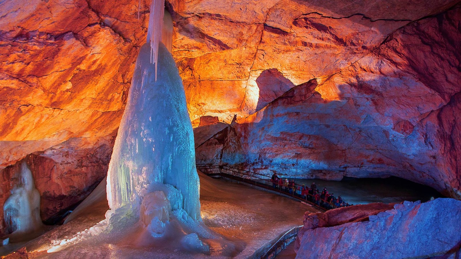
Sir Charles Lyell, author of Principles of Geology, first noted the exceptional natural heritage value of the Joggins Fossil Cliffs, calling them “...the finest example in the world of a natural exposure in a continuous section ten miles long, occurs in the sea cliffs bordering a branch of the Bay of Fundy in Nova Scotia.” Indeed, the world-famous Bay of Fundy with its impressive tides, the highest in the world, and stormy nature exposed much of this outcrop.
Geological accounts of the celebrated coastal section at Joggins first appear in the published literature in 1828–1829, by Americans C.T. Jackson and F. Alger, and by R. Brown and R. Smith, managers for the General Mining Association in the Sydney and Pictou coal fields. Brown and Smith’s account is the first to document the standing fossil trees.
 |
| Joggins Fossil Cliffs Map (Click to Enlarge) |
Joggins Fossil Cliffs is a Canadian gem — and they welcome visitors. They offer hands-on learning and discovery microscope activities in their Fossil Lab.
You can explore interpretive displays in the Joggins Fossil Centre before heading out to the beach and cliffs with an interpreter.
Their guided tours of the fossil site include an educational component that tells you about the geology, ecology, palaeontology and conservation of this very special site.
Joggins / Chegoggin / Mi'kmaq L'nu
We know this area as Joggins today. In Mi'kmaw, the language spoken in Mi'kma'ki, the territory of the Mi'kmaq L'nu, the area bears another name, Chegoggin, place of fishing weirs.
Booking Your Class Field Trip
If you are a teacher and would like to book a class field trip, contact the Director of Operations via the contact information listed below. They will walk you through Covid safety and discuss how to make your visit educational, memorable and fun.
Know Before You Go
The Bay of Fundy has the highest tides in the world. Beach walks are scheduled according to the tides and run regardless of the weather. Good low tides but raining, the beach walk goes on. Lovely and sunny but with a high tide, the beach walk must wait. So, you will want to dress for it as they will not be cancelled in the event of rain. Should severe weather be a factor, bookings may need to be rescheduled at the discretion of the Joggins staff.
Any questions about booking your school field trip? Feel free to email: operations@jogginsfossilcliffs.net or call: 1 (902) 251-2727 EXT 222.
References & further reading:
Joggins Fossil Cliffs: https://jogginsfossilcliffs.net/cliffs/history/
Image: Hylonomus lyelli, Una ricostruzione di ilonomo by Matteo De Stefano/MUSEThis file was uploaded by MUSE - Science Museum of Trento in cooperation with Wikimedia Italia., CC BY-SA 3.0, https://commons.wikimedia.org/w/index.php?curid=48143186
Image: Arthropleura: Par Tim Bertelink — Travail personnel, CC BY-SA 4.0, https://commons.wikimedia.org/w/index.php?curid=48915156
Joggins Map: Joggins Fossil Cliffs: https://jogginsfossilcliffs.net/cliffs/history/


.png)